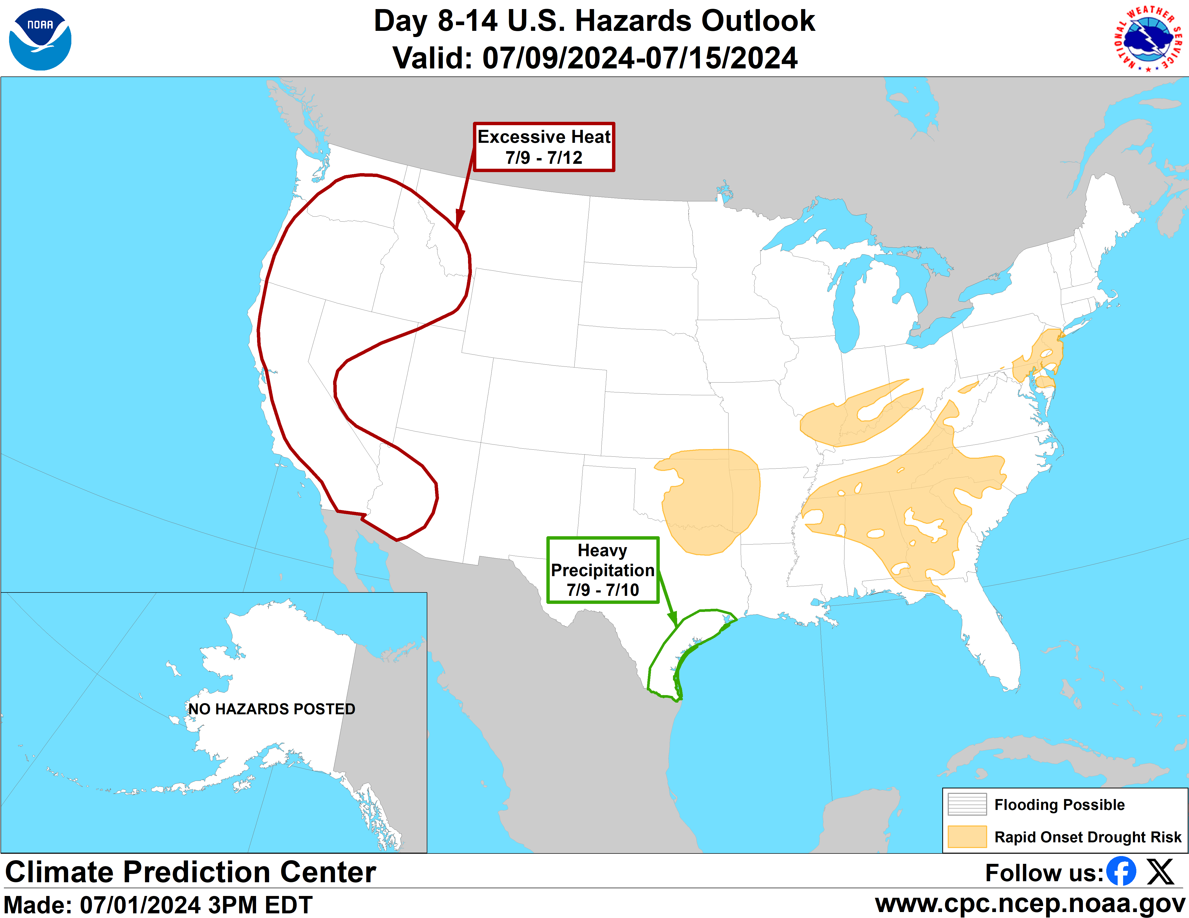
Valid Thursday February 26, 2026 to Wednesday March 04, 2026
US Hazards Outlook
NWS Climate Prediction Center College Park MD
300 PM
EST February 18 2026
Synopsis: Strong surface low pressure is
favored to persist over the Gulf of Alaska throughout the week-2 period,
resulting in prolonged moist onshore flow for the Pacific Northwest and
bitterly cold northerly flow for Alaska. A fast-moving surface low pressure
system is favored to form over the Plains late in week-1 and may bring heavy
precipitation to many parts of the northwestern Contiguous U.S. (CONUS).
Hazards - Moderate risk of heavy precipitation for
portions of the Pacific Northwest, Thu-Sun, Feb 26-Mar 1.
- Moderate risk of heavy precipitation for portions of the Ohio Valley,
Thu-Fri, Feb 26-27.
- Slight risk of heavy precipitation for portions of the Pacific Northwest
and Northern California, Thu-Mon, Feb 26-Mar 2.
- Slight risk of heavy precipitation for portions of the Ohio, Tennessee, and
Middle Mississippi Valleys, Appalachians, and Great Lakes, Thu-Fri, Feb 26-27.
- Moderate risk of heavy snow for portions of the Cascade Mountains, Thu-Mon,
Feb 26-Mar 2.
- Moderate risk of heavy snow for portions of the Northern Rockies, Thu-Sat,
Feb 26-28.
- Slight risk of heavy snow for the Cascades, Klamath, and Sierra Nevada
Mountains, Thu-Mon, Feb 26-Mar 2.
- Slight risk of heavy snow for much of the Northern Rockies, Thu-Mon, Feb
26-Mar 2.
- Slight risk of heavy snow for portions of the Upper Mississippi Valley and
Great Lakes, Thu-Fri, Feb 26-27.
- Slight risk of heavy snow for much of New England, Thu-Fri, Feb 26-27.
- Moderate risk of high winds for the Pacific Northwest, Northern Great
Basin, Northern and Central Rockies, Thu-Mon, Feb 26-Mar 2.
- Slight risk of high winds for the western CONUS and western portions of the
Central and Northern Plains, Thu-Mon, Feb 26-Mar 2.
- Slight risk of high winds for much of the eastern CONUS, Thu-Fri, Feb 26-27.
- Slight risk of high winds for the southern coast of the Alaskan Mainland
and Southeastern Alaska, Thu-Wed, Feb 26-Mar 4.
- Moderate risk of hazardous cold for much of southwestern Mainland Alaska,
Thu-Wed, Feb 26-Mar 4.
- Slight risk of hazardous cold for all of Alaska, Thu-Wed, Feb 26-Mar 4.
Detailed SummaryFor Saturday February 21 - Wednesday
February 25:
WPC Days 3-7 U.S.
Hazards For Thursday February 26 -
Wednesday March 04: At the outset of week-2 multiple model ensembles
depict a shortwave trough moving across the Plains and into the Northeast U.S.
late in week-1 and into week-2. While most of the impact from this system is
now likely prior to the forecast period, model guidance continues to indicate a
lingering potential for hazardous weather impacts across the East early in
week-2. Uncalibrated probabilities from the ECENS and GEFS both indicate at
least a 20% chance of day-8 (Feb 26) precipitation accumulations to exceed 1
inch, and only slightly weaker chances of the same on the following day over
much of the Ohio Valley. Uncalibrated probabilities from both models also
indicate a broader area where chances of daily precipitation accumulation to
exceed half an inch for days 8-9, as well as a 20% chance of 3-day snowfall
accumulations to exceed 6 inches for portions of the Upper Mississippi Valley
and New England. Tight surface pressure gradients are also depicted by multiple
model ensembles over much of the Eastern Seaboard, which are favored to enhance
winds across much of the eastern CONUS as this system progresses. Taking all of
this into account, the following hazards are issued: a moderate risk of heavy
precipitation for much of the Ohio Valley, a slight risk of heavy precipitation
for the Ohio, Tennessee, and Middle Mississippi Valleys, Appalachians, and
southern Great Lakes regions, a slight risk of heavy snow for portions of the
Upper Mississippi Valley and much of New England, and a slight risk of high
wind for much of the eastern CONUS as well as portions of the Southern Plains,
all valid Feb 26-27.
A persistent strong surface low pressure system is depicted throughout
week-2 over the Gulf of Alaska by multiple model ensembles. This feature is
favored to provide sustained moist onshore flow into the Pacific Northwest, as
well as usher in bitterly cold Arctic air into Alaska. Today’s model solutions
are less bullish with regard to the potential for hazardous precipitation and
snow along the West Coast, but more bullish with respect to hazardous cold in
Alaska. Ensemble mean temperatures from the ECENS and GEFS depict widespread
minimum temperatures below -20F throughout week-2 for much of Mainland Alaska
and single digits for Southeastern Alaska. Deep surface low pressure over the
Gulf of Alaska is favored to enhance winds along the southeastern and southern
coasts of the state as well, resulting in even colder wind chills. A moderate
risk of hazardous cold is issued for much of the southwestern Mainland of
Alaska, a slight risk of hazardous cold is posted for the whole state, and a
slight risk of high winds for the southern coast and Southeastern Alaska, all
valid for the entire week-2 period.
Further south, this persistent surface low is favored to bring enhanced
precipitation to portions of the northwestern CONUS. Today’s model solutions
for integrated water vapor transport (IVT) indicate a narrower band of enhanced
moisture moving into the West Coast, focused on the Pacific Northwest.The IVT
tool from the ECENS and GEFS both show weak signal at 250 kg/m/s but persistent
signal at the 150 kg/m/s threshold focused north of Cape Mendocino which
weakens towards the end of week-2. The Probabilistic Extremes Tools (PETs) from
the ECENS and GEFS also indicate at least a 20% chance of 3-day precipitation
accumulations to exceed the 85th climatological percentile through the middle
of the forecast period. Uncalibrated probabilities from both models keep the
strongest signal north of California, with widespread probabilities over 40% of
3-day precipitation accumulations to exceed 2 inches. A moderate risk of heavy
precipitation is posted for portions of the Pacific Northwest for Feb 26-Mar 1,
and a slight risk is posted as far south as the San Francisco Bay, valid Feb
26-Mar 2. Localized flash flooding is possible with anticipated heavy
precipitation. Rises on rivers and urban flooding is possible, but widespread
flooding is not expected at this time.
Further inland, a moderate risk of heavy snow is issued for the Cascades
for Feb 26-Mar 2, while a slight risk of heavy snow extends further south to
include the Klamath and Sierra Nevada Mountains, also valid Feb 26-Mar 2.
However, model solutions indicate less penetration of this moisture into the
Interior West, limiting the potential for much needed snowfall over the
Rockies. Uncalibrated probabilities from the ECENS in particular still show
strong signal for heavy snow over the Northern Rockies early in week-2, with
chances for 3-day accumulations of at least 1 foot of snow exceeding 40% in
some locations. A moderate risk of heavy snow remains posted for the Bitterroot
Mountains for Feb 26-28, while a slight risk of heavy snow extending further
south into the Wind Rivers and Tetons is warranted for Feb 26-Mar 2. Finally,
tight pressure gradients are depicted across much of the West Coast associated
with the low pressure over the Gulf of Alaska. This is likely to result in
enhanced winds across much of the West, particularly for the Pacific Northwest,
northern Great Basin and along the Continental Divide. Ensemble mean wind
speeds from the ECENS and GEFS regularly exceed 20mph across these regions, and
above 30mph along the I-80 corridor through the middle of the week. The PETs
from the GEFS and ECENS also show strong signal, with 40% chances of 3-day wind
speeds to exceed the 85th percentile across much of the West. A moderate risk
of high winds is posted for the Pacific Northwest, Northern Great Basin, and
Northern and Central Rockies, and a slight risk for the western CONUS as well
as western portions of the Great Plains, both valid Feb 26-Mar
2.
Forecaster: Danny Barandiaran
$$
Please consult local NWS Forecast Offices for short range forecasts and region-specific information.
Resources
Week-2 Probabilistic Extremes Tool
GFS Ensemble Forecasts